Where are the Canary Islands? Seven islands, one Spain
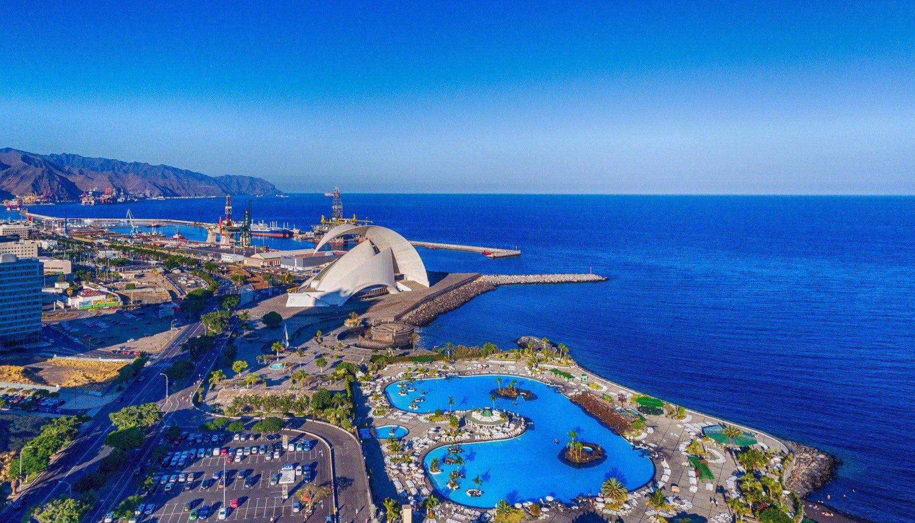
The Canary Islands are Spain, out in the Atlantic Ocean: 97 km from the coast of Africa and more than 1,700 km from Madrid. They form one of Spain's autonomous communities. Tenerife, Gran Canaria, Lanzarote, Fuerteventura and La Palma are all Spanish islands.
Which country: what the law says
The islands have a statute of autonomy, and its current text is a Spanish law of 2018. Its first article calls the Canaries an Atlantic archipelago that governs itself as an autonomous community «within the Spanish state». They are not a separate country.
Article 4 lists what belongs to it. There are seven islands with their own administration — El Hierro, Fuerteventura, Gran Canaria, La Gomera, Lanzarote, La Palma and Tenerife — plus the island of La Graciosa and five islets.
The capital is shared. Under article 5 it is split between Santa Cruz de Tenerife and Las Palmas de Gran Canaria. The seat of the regional president moves between the two with each parliamentary term, and the parliament itself sits in Santa Cruz.
And the EU? Article 3 notes that the EU treaties recognise the islands' remoteness, their island nature and their status as an outermost region. For that reason, it says, public policy is adapted to them: transport, energy, taxes. The statute in Spain's official gazette.
Close to Africa, far from Madrid
On the map, the islands are far closer to Africa than to mainland Spain. By the Canary government's figures, the coast of Morocco and Western Sahara is 97 km away. The nearest mainland town in our base is 1,063 km from the islands. Canary government: geography.
- Santa Cruz de Tenerife to Madrid: 1,755 km. Las Palmas de Gran Canaria to Madrid: 1,738 km.
- The shortest island-to-mainland pair in our base: Teguise (Lanzarote) to Conil de la Frontera, 1,063 km.
- Between the two capitals: 88 km.
- From west to east our places stretch 427 km, from Los Llanos de Aridane on La Palma to Arrecife on Lanzarote.
Latitude tells the same story. Our 18 Canary places lie between 27.8° and 29.1° north. The southernmost mainland place in our base is Tarifa, at 36.0°. Even the northernmost island town we cover is 773 km further south. Madrid is at 40.4°.
The clock is different too: the islands run one hour behind the mainland. Spain's decree on summer time changes the clocks at 2:00 on the mainland and at 1:00 in the Canaries. It is the same moment. Decree 236/2002.
The Canary Islands on one diagram
This is a diagram, not a map. Large dots are the places in our base; small dots are bathing points from the European register. The bathing points sit along the shore, so they show which island is where.
Two provinces
Inside Spain, the archipelago is split into two provinces, and the line runs between islands, not across them. By the Canary government's list, Santa Cruz de Tenerife province takes Tenerife, La Gomera, El Hierro and La Palma. Las Palmas province takes Gran Canaria, Fuerteventura, Lanzarote and La Graciosa.
The census confirms it for every place we cover. Our places on Tenerife, La Palma and La Gomera are registered in Santa Cruz de Tenerife province. Our places on Gran Canaria, Lanzarote and Fuerteventura are registered in Las Palmas province. The islands have 88 municipalities in all; our base covers 18.
Island by island
Residents are from the 2025 census and cover only the municipalities in our base, not the whole island. «January» is how many cafés, hotels and shops operate in January against the year's peak. «Excellent» counts bathing points with the top grade in the 2025 season.
| Island | Places | Residents | Airport | January | Excellent |
|---|---|---|---|---|---|
| Tenerife | 3 | 293,699 | TFN, TFS | 99–100 % | 56 of 61 |
| Gran Canaria | 4 | 565,284 | LPA | 99–100 % | 62 of 63 |
| Lanzarote | 4 | 134,580 | ACE | 96–100 % | 36 of 37 |
| Fuerteventura | 4 | 111,327 | FUE | 95–100 % | 30 of 31 |
| La Palma | 2 | 36,425 | SPC | 95–99 % | 9 of 9 |
| La Gomera | 1 | 9,665 | TFS | 100 % | 12 of 12 |
| El Hierro | — | — | — | — | 4 of 4 |
Residents: 2025 census, National Statistics Institute. January: social security, 2025.
- Las Palmas de Gran Canaria is the largest town in our base on the islands: 384,023 residents by the census.
- Adeje / Costa Adeje: 48.1 % of residents are foreign nationals, the highest share among our Canary places.
- Tenerife: our places here use Tenerife North and Tenerife South airports.
- San Sebastián de La Gomera: in our base it is tied to Tenerife South airport on the neighbouring island, 120 minutes away.
- Los Llanos de Aridane is the westernmost place in our whole base.
- El Hierro: no places in our base yet. The bathing register lists 4 points on the island, all of them excellent.
Who lives there
The census counts residents by citizenship. In the 18 municipalities we cover on the islands it finds 1,150,980 residents, and 190,898 of them, 17 %, hold a foreign passport. The largest groups by citizenship: Italy 31,032, Colombia 21,414, United Kingdom 14,931, Germany 13,249, Morocco 13,176.
This counts people registered as residents, not second-home owners. Someone who spends half the year on an island without registering is not in it. People who took Spanish citizenship count as Spanish. The breakdown for every place is in our residents-by-nationality dataset.
Winter is the busy season
Winter life is the first thing we check about a coastal town. We measure it from Spain's monthly social security data: how many cafés, hotels and shops operate in January compared with the busiest month of 2025.
On the islands the question hardly arises. Of our Canary places, 16 have their own figure, and the lowest January share among them is 95 %, in Pájara. Across 99 mainland places with their own figure the median is 90 %, and the lowest is 43 %.
So for most island places the busy season is the European winter, not the summer. Corralejo and Maspalomas have no figure of their own: they are villages inside a larger municipality, and the state figure covers the whole municipality. They are left out of the count.
The sea in winter
In February the water at our Canary places is 18.6 to 19.8 °C. The warmest February sea on the mainland in our base is at Tarifa, 16.2 °C. Barcelona has 13.4 °C in February.
The sea is coldest here in February or March, depending on the place. It stays at 20 °C or warmer for 7 to 10 months a year. On the mainland, no place in our base gets more than 5.
| Place | February, °C | August, °C | 20 °C or more, mo |
|---|---|---|---|
| Santa Cruz de TenerifeTenerife, Canary Islands | 19.5 | 23.5 | 10 |
| Las Palmas de Gran CanariaGran Canaria, Canary Islands | 19.3 | 23 | 8 |
| ArrecifeLanzarote, Canary Islands | 18.6 | 22.5 | 8 |
| Puerto del RosarioFuerteventura, Canary Islands | 18.7 | 22.6 | 8 |
| Los Llanos de AridaneLa Palma | 19.8 | 23.5 | 10 |
| San Sebastián de La GomeraLa Gomera | 19.7 | 23.5 | 10 |
| TarifaCádiz, Costa de la Luz | 16.2 | 21.9 | 4 |
| BarcelonaBarcelona | 13.4 | 26.3 | 5 |
Average water temperature by month over 2015–2024, NOAA satellite series. The last two rows are mainland places for comparison.
Water at the beaches
The European Environment Agency grades every bathing point from samples over four seasons. In the 2025 season the seven islands had 217 points in the register, and 209 of them were excellent: 96 %. Across Spain the excellent share is 91 %.
No point on the islands was graded poor in 2025. The last poor grade on the islands was in 2022: Playa El Confital, Gran Canaria. The agency's data.
Short answers
›Is Tenerife in Spain?
Yes. Tenerife is one of the seven Canary Islands with their own administration, and under their statute the Canaries are an autonomous community of Spain.
›Are the Canary Islands in Africa?
Geographically they lie off Africa: 97 km from the coast of Morocco and Western Sahara. Politically they are Spain and part of the EU, as an outermost region.
›How far are the islands from mainland Spain?
In a straight line, Santa Cruz de Tenerife to Madrid is 1,755 km. The shortest island-to-mainland pair in our base is 1,063 km.
›What time is it in the Canary Islands?
One hour behind Madrid, all year round: summer time starts at 2:00 on the mainland and at 1:00 on the islands, at the same moment.
Further
Every island place, with full data, is on the coast pages: Tenerife, Gran Canaria, Lanzarote, Fuerteventura, La Palma, La Gomera, El Hierro. The beaches of our places, point by point, are in our bathing water dataset; winter by place is in the winter openness dataset. Thirty places that stay open in winter are in a separate guide.
The water at Tenerife's beaches, point by point since 1990, is in our piece on Tenerife beaches by water quality; all of Spain by the same tests is in our piece on Spain's cleanest beaches.
Run it on your own numbers
Nine questions about budget, savings and how you live. You get three places with the reasoning for and against each.
Take the quiz