Which sea is Spain on? The Mediterranean, the Atlantic and the Bay of Biscay — and how warm each gets
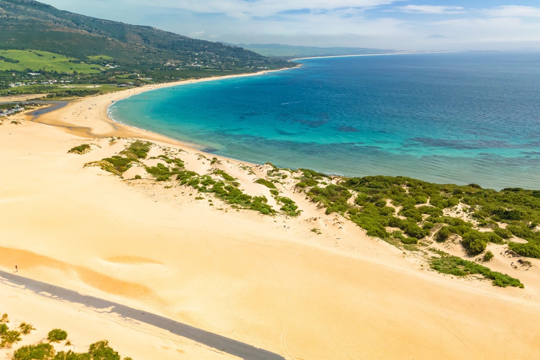
Spain is on the Mediterranean Sea and the Atlantic Ocean, and its north coast faces the Bay of Biscay, which lies within the Atlantic. The Canary Islands are in the open ocean. Off Spain the Mediterranean is divided into the Strait of Gibraltar, the Alboran Sea and the Balearic Sea. In winter the water is warmer around the Canaries; in summer, in the Mediterranean.
Below: where the lines are drawn in the international reference, which sea each of our coasts is on, and how warm the water gets month by month. Everything is computed for 125 places on the shore, from their coordinates and our sea temperature records.
Where the lines are drawn
The limits of seas are set by the International Hydrographic Organization (IHO) in its reference «Limits of Oceans and Seas», the 1953 edition. For Spain, these are the limits that matter. The reference on the IHO site.
The first is at Cape Trafalgar: the Mediterranean begins at a line from it to Cape Spartel in Africa. So the whole Strait of Gibraltar counts as part of the Mediterranean, not of the ocean. The Strait ends at a line from Europa Point in Gibraltar to Punta Almina in Ceuta. East of it, as far as Cabo de Gata, lies the Alboran Sea.
The Balearic Sea lies between the islands and the mainland. On the mainland it runs from Cap de Sant Antoni near Dénia to Cap de Sant Sebastià on the Costa Brava. Its outer limit follows the south coast of Formentera, passes the island of Cabrera south of Mallorca, and runs along the east coast of Menorca.
In the north, the Bay of Biscay begins at a line from Cabo Ortegal in Galicia to Penmarch Point in Brittany. Everything west of Ortegal is the open ocean.
Which sea each coast is on
The capes' positions come from Spain's national gazetteer, the places' from our base. 7 places lie more than 10 km from the sea and are left out: they have no shore of their own. Seville, for example, lies east of Cape Trafalgar but has nothing to do with the Strait.
| Coast | Sea | Part (IHO) | Places |
|---|---|---|---|
| Costa Brava | Mediterranean Sea | Balearic Sea (2) · no separate name (1) | 3 |
| Costa Barcelona | Mediterranean Sea | Balearic Sea | 5 |
| Costa Daurada | Mediterranean Sea | Balearic Sea | 3 |
| Costa del Azahar | Mediterranean Sea | Balearic Sea | 4 |
| Costa de Valencia | Mediterranean Sea | Balearic Sea | 4 |
| Costa Blanca | Mediterranean Sea | no separate name (11) · Balearic Sea (1) | 12 |
| Costa Cálida | Mediterranean Sea | no separate name | 6 |
| Costa de Almería | Mediterranean Sea | Alboran Sea (3) · no separate name (3) | 6 |
| Costa Tropical | Mediterranean Sea | Alboran Sea | 2 |
| Costa del Sol | Mediterranean Sea | Alboran Sea | 14 |
| Campo de Gibraltar | Mediterranean Sea | Strait of Gibraltar (3) · on the Strait–Alboran line (1) | 4 |
| Costa de la Luz | Atlantic Ocean · Mediterranean Sea | open ocean, west of Cape Trafalgar (9) · Strait of Gibraltar (1) | 10 |
| Rías Baixas | Atlantic Ocean | open ocean, west of Cabo Ortegal | 3 |
| Costa da Morte | Atlantic Ocean | open ocean, west of Cabo Ortegal | 4 |
| Rías Altas | Atlantic Ocean · Bay of Biscay | open ocean, west of Cabo Ortegal (4) · east of Cabo Ortegal (2) | 6 |
| Costa Verde | Bay of Biscay | east of Cabo Ortegal | 3 |
| Cantabrian Coast | Bay of Biscay | east of Cabo Ortegal | 3 |
| Basque Coast | Bay of Biscay | east of Cabo Ortegal | 3 |
| Mallorca | Mediterranean Sea | Balearic Sea | 3 |
| Menorca | Mediterranean Sea | Balearic Sea (3) · Balearic Sea, on its outer edge (1) | 4 |
| Ibiza and Formentera | Mediterranean Sea | Balearic Sea | 5 |
| Tenerife | Atlantic Ocean | open ocean | 3 |
| Gran Canaria | Atlantic Ocean | open ocean | 4 |
| Lanzarote | Atlantic Ocean | open ocean | 4 |
| Fuerteventura | Atlantic Ocean | open ocean | 4 |
| La Palma, La Gomera, El Hierro | Atlantic Ocean | open ocean | 3 |
Most coasts lie wholly in one part of one sea. 7 are split, each by a different line.
- Costa Brava. Balearic Sea: Blanes and Lloret de Mar; no separate name (Mediterranean): Roses.
- Costa Blanca. No separate name (Mediterranean): Torrevieja, Alicante, Santa Pola, El Campello, Benidorm, Calpe / Calp, Orihuela Costa, Guardamar del Segura, Altea, Jávea / Xàbia and Moraira; Balearic Sea: Dénia.
- Costa de Almería. Alboran Sea: Adra, Roquetas de Mar and Almería; no separate name (Mediterranean): Vera, Garrucha and Mojácar.
- Campo de Gibraltar. Strait of Gibraltar: Los Barrios, Algeciras and San Roque; on the Strait–Alboran line: La Línea de la Concepción.
- Costa de la Luz. Open ocean, west of Cape Trafalgar: Isla Cristina, Huelva, Ayamonte, Sanlúcar de Barrameda, Chiclana de la Frontera, Punta Umbría, El Puerto de Santa María, Cádiz and Conil de la Frontera; Strait of Gibraltar: Tarifa.
- Rías Altas. Open ocean, west of Cabo Ortegal: Ferrol, Narón, Sada and A Coruña; east of Cabo Ortegal: Viveiro and Ribadeo.
- Menorca. Balearic Sea: Alaior, Maó / Mahón and Ciutadella de Menorca; Balearic Sea, on its outer edge: Es Castell.
The least expected case is the Costa de la Luz. It is called the Atlantic coast, and almost all our places there are indeed on the ocean. But Tarifa lies east of Cape Trafalgar, inside the Strait — and the IHO counts the Strait as part of the Mediterranean.
On Menorca the island's east coast is itself the boundary, so the towns on it stand on the very edge of the Balearic Sea. Distance from the line between Illa de l'Aire and Cap de Favàritx: Es Castell, 0.7 km; Maó / Mahón, 1.4 km.
Short answers
Mallorca. The Mediterranean, in the part called the Balearic Sea: the whole island lies within its limits. At our places on the island the water is 15–15.4 °C in January and 26.9–27.1 °C in August.
Tenerife. The Atlantic Ocean, like all the Canaries. The water is 20.1–20.2 °C in January and 23.4–23.5 °C in August: at least 4.7 degrees warmer than Mallorca in winter, cooler in summer.
Alicante. The Mediterranean, in the stretch from Cabo de Gata to Cap de Sant Antoni that the IHO does not name separately. The water is 15.2 °C in January and 27.1 °C in August.
Málaga and the Costa del Sol. The Mediterranean, in the part called the Alboran Sea. All 14 of our places on this coast lie between the Strait and Cabo de Gata. Málaga: 15.6 °C in January, 24.3 °C in August.
Costa Blanca. The Mediterranean. No separate name: 11 of our 12 places; Balearic Sea: Dénia. August water: 26.8–27.1 °C.
Barcelona. The Mediterranean, in the part called the Balearic Sea. The water is 14.1 °C in January and 26.3 °C in August.
How warm each sea gets
Temperatures are monthly averages for 2015–2024 from NOAA satellite data, each place with its own series. The table shows the spread between places in the same part of the sea.
| Sea | Places | January, °C | August, °C | Warmest month, °C | Months above 20 °C |
|---|---|---|---|---|---|
| Atlantic: Canary Islands | 18 | 19.3–20.5 | 22.5–23.5 | 23.1–24.4 | 7–10 |
| Atlantic: Huelva and Cádiz | 9 | 15.7–16.3 | 22.2–23.4 | 22.2–23.4 | 5 |
| Atlantic: Galicia | 11 | 13.7–14 | 16.7–19.3 | 16.7–19.3 | 0 |
| Bay of Biscay | 11 | 12.7–13.6 | 19.9–22.7 | 19.9–22.7 | 0–3 |
| Strait of Gibraltar | 4 | 16.1–17.1 | 21.5–21.9 | 21.5–21.9 | 3–4 |
| Alboran Sea | 19 | 15.6–16 | 22.1–25.4 | 22.1–25.4 | 3–5 |
| Cabo de Gata to Cap de Sant Antoni | 17 | 15.1–15.5 | 26.4–27.1 | 26.4–27.1 | 5 |
| Balearic Sea: mainland | 19 | 13.9–15.1 | 25.8–27.1 | 25.8–27.1 | 5 |
| Balearic Sea: islands | 12 | 14.9–15.6 | 26.8–27.1 | 26.8–27.1 | 5–6 |
| North of Cap de Sant Sebastià | 1 | 13.6 | 23 | 23 | 4 |
The table leaves out La Línea de la Concepción, Los Alcázares, San Javier and San Pedro del Pinatar. La Línea de la Concepción sits right on the line between the Strait and the Alboran Sea. Los Alcázares, San Javier and San Pedro del Pinatar lie on the Mar Menor lagoon, where the satellite sees the sea beyond the sandbar, not the lagoon water.
Winter belongs to the Canaries, summer to the Mediterranean
From January to March the coolest water in the Canaries is 18.5 °C. The warmest on the Mediterranean in the same months is 17.1 °C. That is a gap of 1.4 degrees even in the Canaries' worst case.
In August it flips. The warmest place in the Canaries reaches 23.5 °C, while from Cabo de Gata to the Balearics, mainland and islands alike, August water is never below 25.8 °C. The warmest August water in our base, 27.1 °C, is at Guardamar del Segura, Santa Pola, Alicante, El Campello, Palma de Mallorca, Pollença, Castellón de la Plana, Benicàssim, Peñíscola and Vinaròs.
In the Canaries the warmest month is September at all 18 of our places there, with October level at 4 of them. Elsewhere it is August at 102 of 103 places, with July level at 2. The exception: Vigo (July). The coldest water comes in February at 90 places and in March at 31. How many months a year you can swim, and where the season is longest, is a separate piece. The swimming season, place by place.
North and south, west and east
The coldest summer water in our base is in the Atlantic off Galicia: 16.7–19.3 °C in August, and not one month above 20 °C. The Bay of Biscay next door warms more, to 19.9–22.7 °C in August. Yet in winter the bay holds the coldest water in our base: 12.7 °C in January at San Sebastián / Donostia.
Along Spain's southern Mediterranean shore the water changes from west to east. From Tarifa to Alicante, August warms by 5.2 degrees, while January cools by 1.9. Below is the largest place on each coast, within its Mediterranean part.
| Place | Part of the sea | January, °C | August, °C |
|---|---|---|---|
| TarifaCádiz, Costa de la Luz | Strait of Gibraltar | 17.1 | 21.9 |
| AlgecirasCampo de Gibraltar, Cádiz | Strait of Gibraltar | 16.1 | 21.5 |
| MálagaMálaga | Alboran Sea | 15.6 | 24.3 |
| AlmuñécarCosta Tropical, Granada | Alboran Sea | 15.6 | 24.6 |
| AlmeríaAlmería | Alboran Sea | 15.6 | 25.4 |
| CartagenaCampo de Cartagena, Murcia | no separate name | 15.5 | 26.6 |
| AlicanteCosta Blanca | no separate name | 15.2 | 27.1 |
In winter it is the other way round: the warmest January water on the Mediterranean in our base is 17.1 °C, at Tarifa (Strait of Gibraltar). Beyond Cap de Sant Sebastià, on the northern Costa Brava, it is 13.6 °C. The warmest January water overall, 20.5 °C, is in the Canaries.
Mediterranean sea temperature by month
The average of our places in each part of the sea, with the Canaries and the Bay of Biscay for comparison.
| Month | Atlantic: Canary Islands | Strait of Gibraltar | Alboran Sea | Cabo de Gata to Cap de Sant Antoni | Balearic Sea: islands | Bay of Biscay |
|---|---|---|---|---|---|---|
| January | 19.8 | 16.4 | 15.7 | 15.3 | 15.3 | 13.4 |
| February | 19.2 | 15.8 | 15.3 | 14.6 | 14.5 | 12.8 |
| March | 19 | 15.6 | 15.4 | 14.9 | 14.7 | 12.9 |
| April | 19.7 | 16.3 | 16.4 | 16.3 | 16.2 | 13.7 |
| May | 20.4 | 17.6 | 18.2 | 19 | 18.8 | 15.6 |
| June | 21.5 | 19 | 19.9 | 22.3 | 22.7 | 18.5 |
| July | 22.2 | 20.7 | 22.5 | 25.5 | 25.7 | 20.7 |
| August | 23 | 21.6 | 24.1 | 26.8 | 26.9 | 21.6 |
| September | 23.6 | 20.8 | 22.4 | 25.4 | 25.7 | 20.5 |
| October | 23.5 | 19.5 | 20.3 | 22.8 | 23.1 | 18.4 |
| November | 22.3 | 18.2 | 17.8 | 19.4 | 19.8 | 16.1 |
| December | 21.1 | 17.3 | 16.5 | 16.8 | 17 | 14.4 |
Further
Monthly sea temperature for every one of our places is in our dataset. Coasts by sea:
- Alboran Sea: Costa del Sol, Costa Tropical
- Balearic Sea: Mallorca, Costa de Valencia, Costa Barcelona
- Mediterranean with no separate name: Costa Cálida
- Atlantic Ocean: Tenerife, Rías Baixas
- Bay of Biscay: Basque Coast, Cantabrian Coast
Beyond temperature, the water has a grade from EU tests: see our piece on Spain's cleanest beaches. All 26 coasts on the same numbers, from January to the price per m², are in our piece on which Spanish coast is best.
Run it on your own numbers
Nine questions about budget, savings and how you live. You get three places with the reasoning for and against each.
Take the quiz